Image
Scandinavian maps
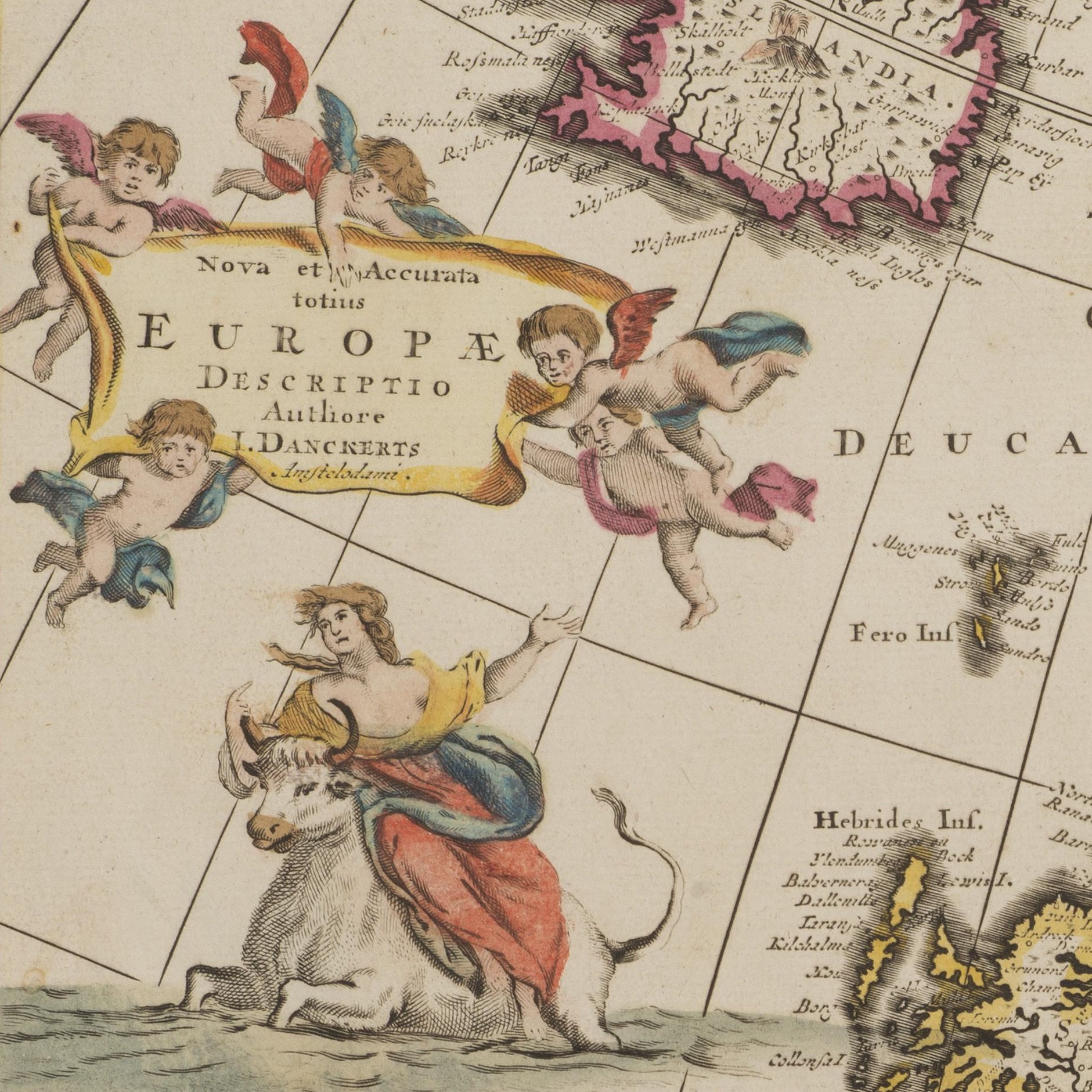
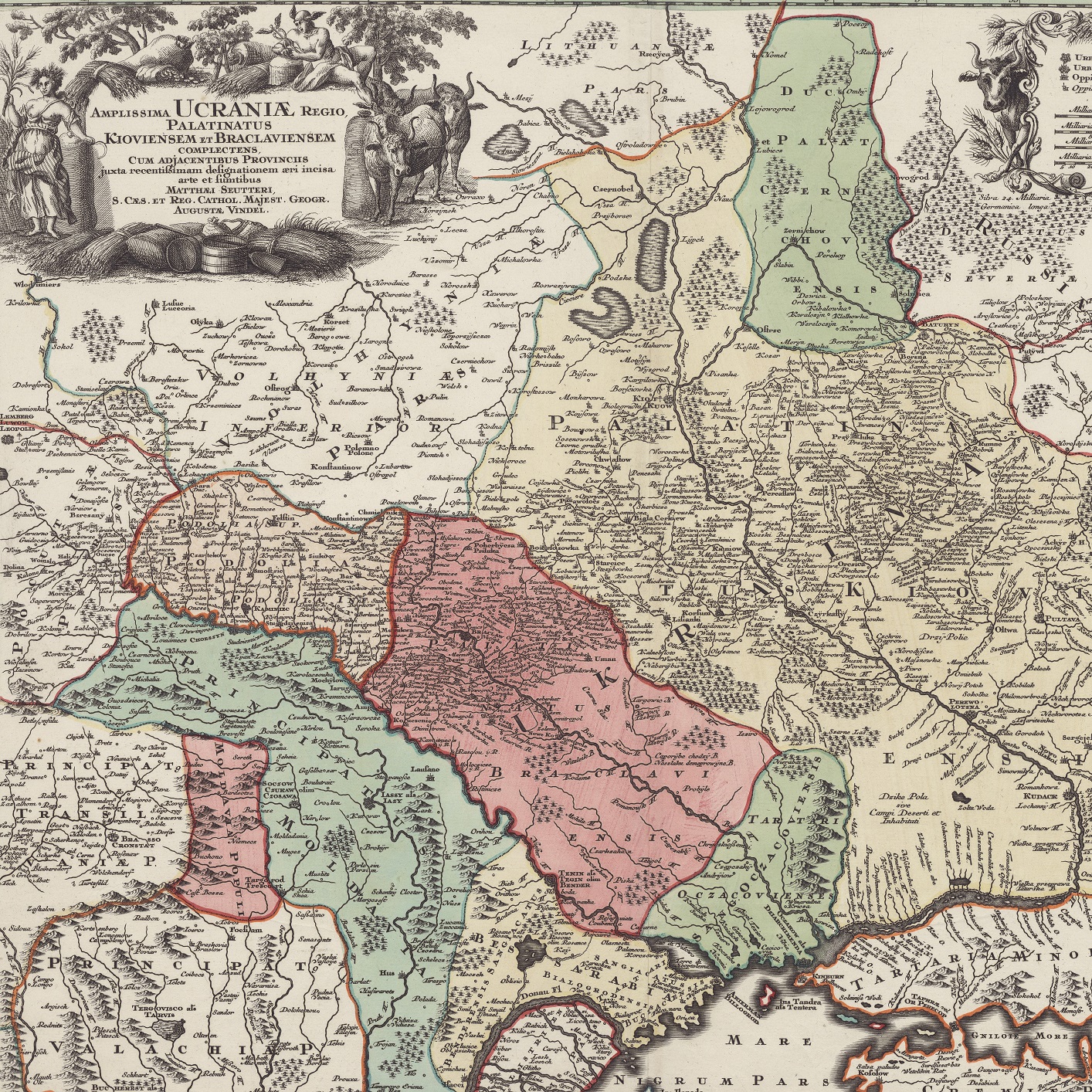
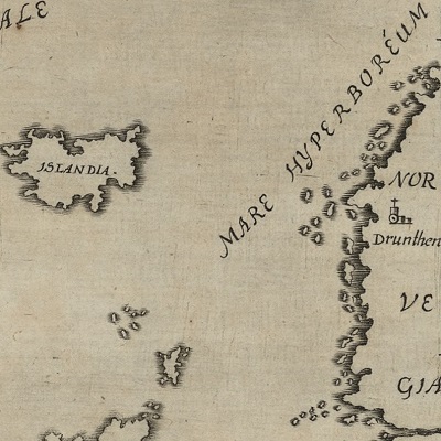
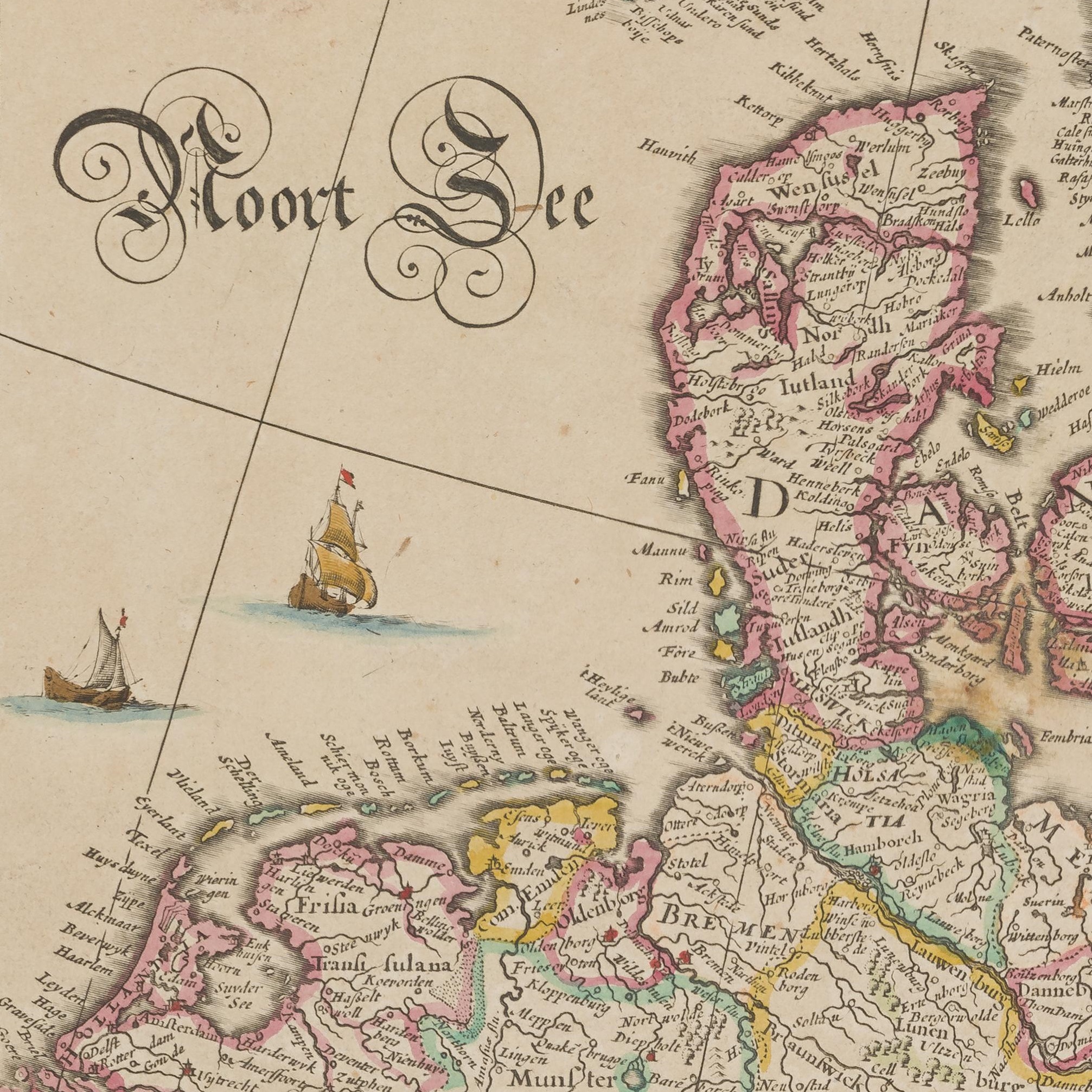
xThe National and Academic Library (BNU) boasts 340 maps: 60 maps of Scandinavia as a whole and 280 of Norway, Sweden, Denmark, and Finland. Other regions include Iceland, Svalbard, Greenland, and the Arctic region.
Mostly from the 16th to the 19th centuries, these older maps were engraved by renowned cartographers, like Mercator, Ortelius, Janssonius, Homann, etc. and conjure up images of Vikings, myths, and fantastic beasts.
Mostly from the 16th to the 19th centuries, these older maps were engraved by renowned cartographers, like Mercator, Ortelius, Janssonius, Homann, etc. and conjure up images of Vikings, myths, and fantastic beasts.
