
Maps
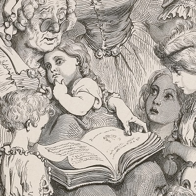
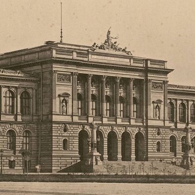
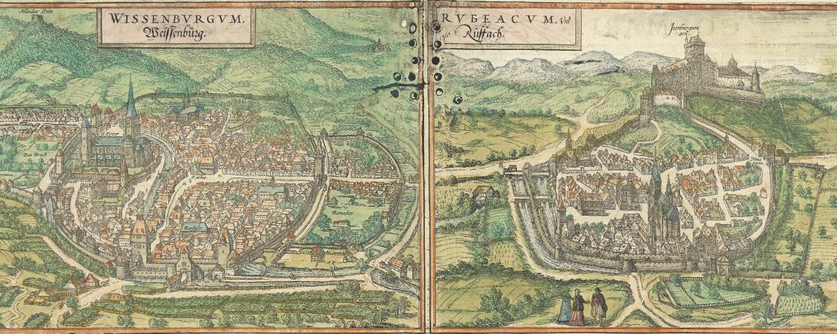
Offering more than 2 650 documents, the “Maps” universe invites you to travel across time and space, from earth to sky.
The maps are issued from the BNU (National and University Library) maps collection, rich of approximately 50 000 maps, and from the map library of the Faculty of Geography of the University of Strasbourg. The collection had been enriched with a few hundred of Alsaticana documents from the National Library of France collections.
Among the treasures to discover, there are plates from the very first atlas, signed by Abraham Ortelius (16th century), with old views of main Alsatian towns, handwritten traces of the course of the Rhine and magnificent representations of constellations and stars, but also old maps preserved in the University of Strasbourg libraries. The “Maps” universe is an invitation to travel…
the collections
-
Image
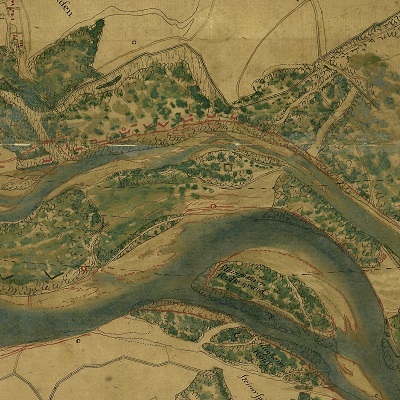
Programme HistCarto
-
Image
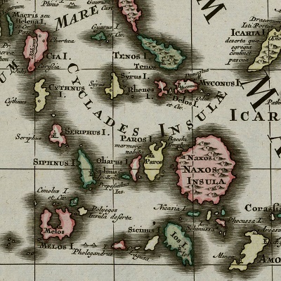
Cartes anciennes de géographie
-
Image
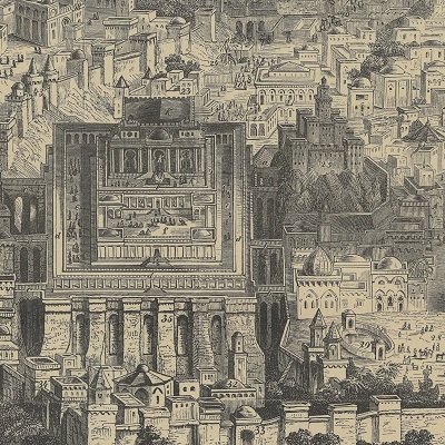
Cartes du monde
-
Image
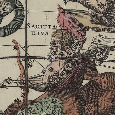
Cartes célestes
-
Image
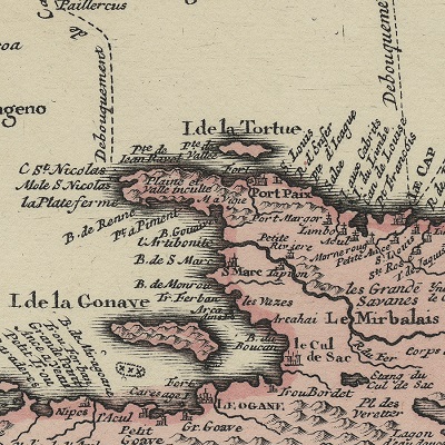
Caraïbes, Amazonie et Guyane
-
Image
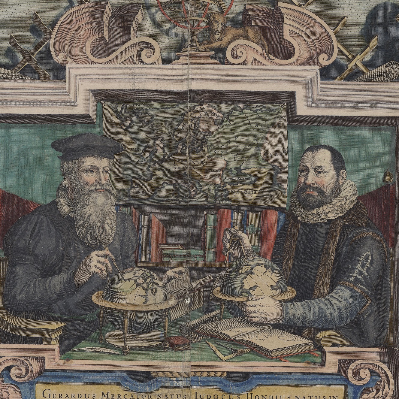
Cartes d'Europe et du Rhin supérieur
-
Image
Cartes d'Alsace
-
Image
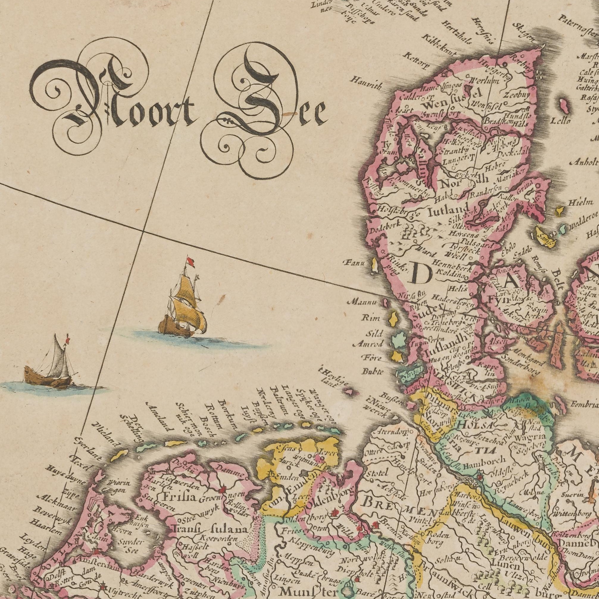
Scandinavian maps
-
Image
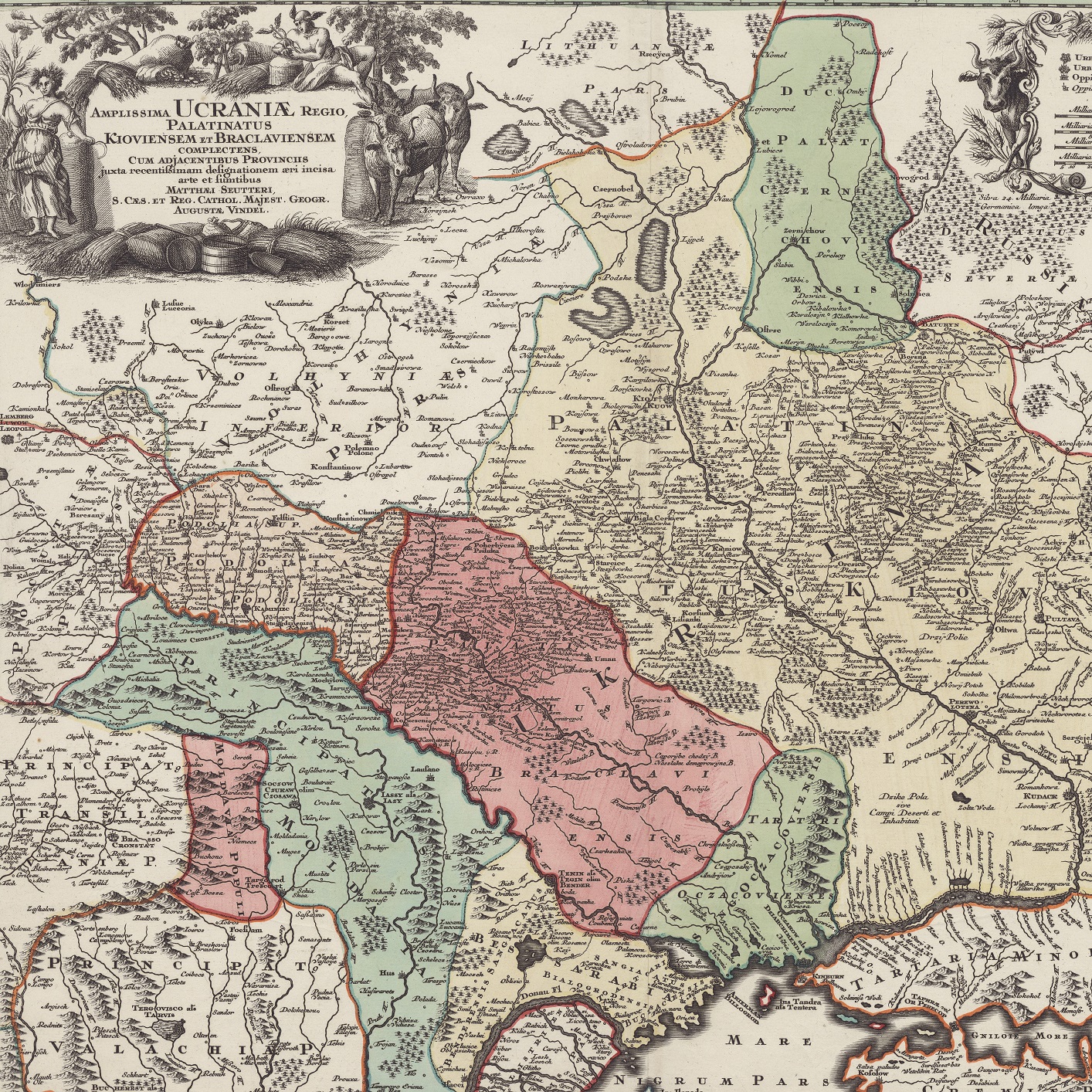
Maps of Ukraine
