Image
Image
Univers associé
Maps
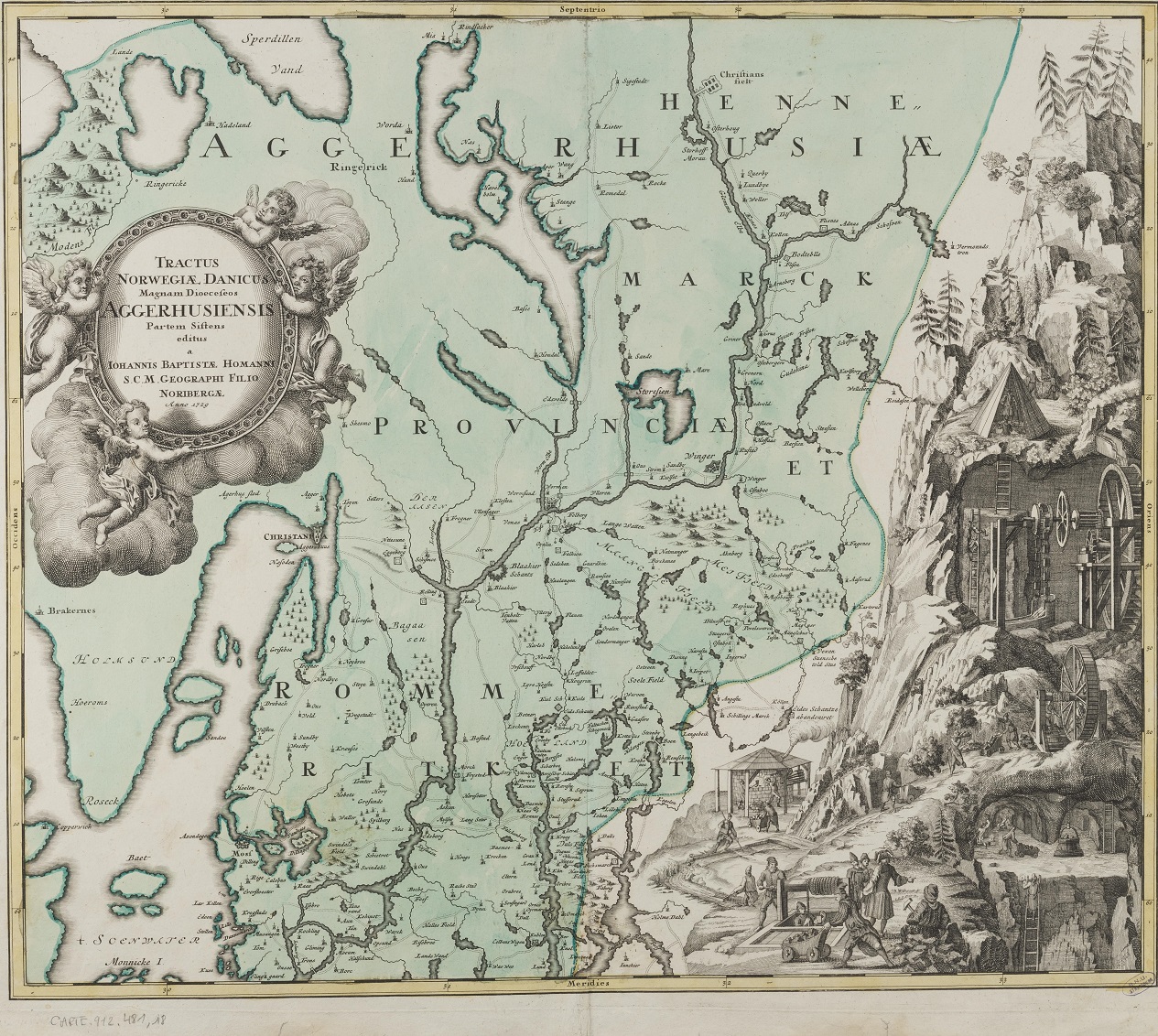
Let's look at this map of the province surrounding Aggerhus, with its right-hand ride showing the steps from ore extraction to ironwork! (Homann, 1728)
And these 16th century nautical charts, with their detailed coastlines and wind roses, their boats and marine creatures!
This extraordinary map by Ortelius represents Iceland, where fire and ice meet (with a perfectly recognisable volcano), with its lacy coastline and a full menagerie of fantastic and terrifying creatures, the only animals depicted in the Theatrum orbis terrarum! (1587)
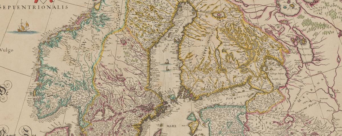
Lastly, this map of Norway displaying a lion, which, following tradition, holds the Saint Olav battle axe in its paws!