Image
Image
Univers associé
Maps
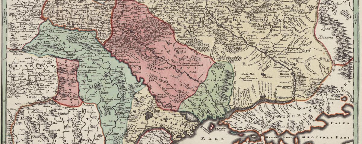
Let's stop for a moment to look at this rare map of Ukraine, which was engraved on copper and hand-colourised by Matthaus Seutter. The title is decorated with a pastoral landscape, wheat sheafs, and oxen, alluding to Ukraine's greatest strength: farming. Demeter, goddess of the harvest, makes an appearance, and so does Hermes, symbolising prosperity.
Cartographer Janssonius created this superb map outlining the Dnieper river. The Dnieper river was known in Ancient Greece as the Borysthenes, a Scythian word referring to "great lands" – in all likelihood the Ukrainian steppe. The originality of the map resides in its unconventional layout in three horizontal stips, with each their own wind roses, and the use of antique colours, like verdigris.
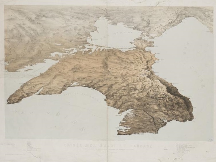
Last but not least: this 1854 map used during the Crimean War (1853-1856) by French painter, lithographer and architect Alfred Guesdon (1808-1876). Bothe the bird's-eye view and the choice of colours make it an unconventional piece of work. Because it bears witness to this conflict, this map is an invaluable item in our public collections.